Drones
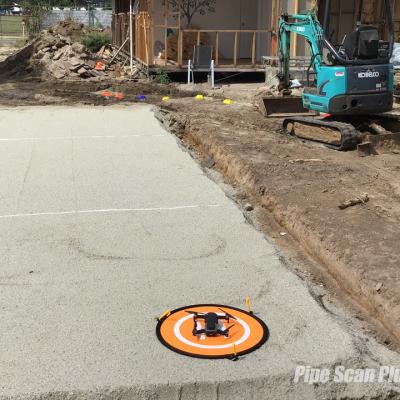
Drones are increasingly being used to conduct surveying and mapping of pipelines. Pipe Scan are now using drones for surveying and mapping of pipes and cables, roof inspections and leak detection.
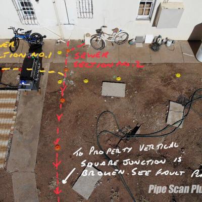
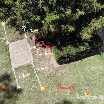
We can provide the clients with an easy to read map/plan. An aerial map/plan showing pipe services, fault locations and depths including distances from buildings, boundaries and more.
These maps/plans can then be used in conjunction with the CCTV pipe inspection and for future reference to show where buried pipe services are located.


